Accessibility

Trails

Learn more about the many trails on an around Bennachie and the surrounding areas.

Further Information

T6 Trails

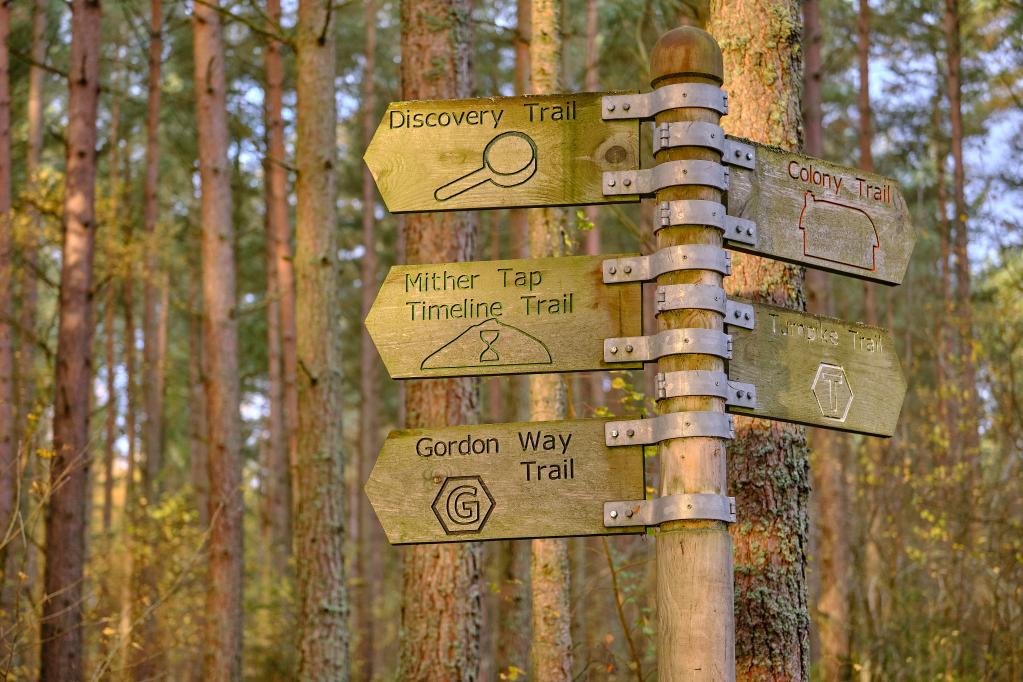
Colony Trail

Colony Trail (Orange) at the Bennachie Centre, AB51 5HX.

Moderate 2½ miles / 4 km Allow 1¼ hr. An easy-going trail winding through attractive open woodland and the ruined houses and fields of the Bennachie colonists. Firm and generally smooth, with some uneven areas. Generally moderate slopes, with some short fairly steep parts. Includes steps, roots and rocky areas.

Map Reference: NJ 698 216 Coordinates: (57.284019,-2.5025896)
T6 Trails

Discovery Trail

Discovery Trail (Black) at the Bennachie Centre, AB51 5HX.

Easy ½ mile / 1 km Allow ½hr. A gentle wander through the forest. Wildlife rubbing posts are dotted along the trail; collect paper and crayons from the visitor centre. A smooth firm trail, with short gentle slopes and no obstacles, suitable for wheelchair users

Map Reference: NJ 698 216 Coordinates: (57.284019,-2.5025896)
T6 Trails

Gordon Way Trail

Gordon Way Trail (G), Bennachie Centre, AB51 5HX.

The Gordon Way starts at the Bennachie Centre and runs for 11.5 miles (18.5 km) along the southern side of Bennachie and on to the Suie car park, 3 miles south east of Rhynie. You walk through forests, farmland and open moorland, stout boots are recommended as some sections are muddy.

Gordon Way Trail not well maintained or well signposted.

See https://www.ldwa.org.uk/ldp/members/show_path.php?path_name=Gordon+Way

Map Reference: NJ 698 216 Coordinates: (57.284019,-2.5025896)

Larick Trail

Larick Trail (Yellow), Back o’ Bennachie, AB52 6RH.

Strenuous 1½ miles / 2.4 km Allow 1 hour. The Larick (Larch) Trail Green in spring, lovely golds in Autumn.

A moderate to fairly steep trail, with varied surfaces: firm forest roads, earthy paths that can be muddy and rough sections with rocks, roots and large steps.

Map Reference: NJ 660 242 Coordinates: (57.307106,-2.565978)

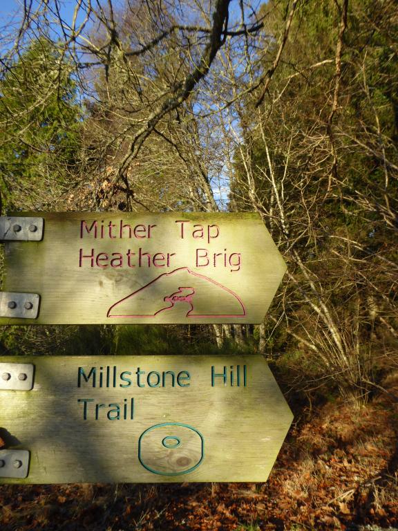
T3 Millstone Hill Trail

Millstone Hill Trail

Millstone Hill Trail (Blue), Donview, AB51 7JE,

Strenuous 3½ miles / 5.6 kms Allow 2½ hr Walk up through woodland onto a heather clad hill, lovely view of Mither tap from the top. A very steep, rough and rocky trail, with large steps and roots. Generally narrow, and has a narrow timber walkway. Can be wet and muddy

Map Reference: NJ 672 189 Coordinates: (57.259587,-2.545357)

Mither Tap Heather Brig Trail

Mither Tap Heather Brig Trail (Pink), Donview, AB51 7JE.

Strenuous 6 miles / 9.6 km Allow 4 hour. This grand, adventurous route crosses Millstone Hill and on to the landmark of the Mither Tap. Stunning views. Very steep, rough and rocky trail, with large steps and roots. Generally narrow, and has a narrow timber walkway. Can be muddy.

Map Reference: NJ 672 189 Coordinates: (57.259587,-2.545357)

Mither Tap Maiden Causeway Trail

Mither Tap Maiden Causeway Trail (Purple) NJ 692 244 Rowantree AB51 5HZ.

Strenuous 3½ miles / 5.6 km Allow 2 ½ hours.

A walk of legends to the impressive Pictish hill fort. The Maiden Causeway itself is named after a local girl who bet the devil that she could bake a batch of oatcakes before he could build a road up Bennachie.

Steep, rough and uneven rocky trail with steep rock steps. Some parts are narrow and can be wet and muddy after rain.

Map Reference: NJ 692 244 Coordinates: (57.309130,-2.5128917)

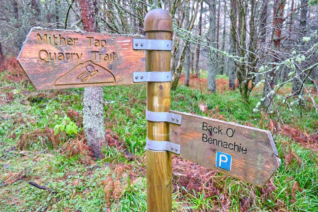
T2 Mither Tap Quarry Trail

Mither Tap Quarry Trail

Mither Tap Quarry Trail (Brown), Back O’ Bennachie, AB52 6RH.

Strenuous 5½ miles / 9 km Allow 3¾ hours. A good walk on the hill, visiting Mither Tap and Bennachie’s highest summit Oxen Craig.

A very steep, rough trail with long climbs, large steps, rocky and some areas on the summits which may be muddy.

Map Reference: NJ 661 245 Coordinates: (57.309808,-2.5643595)

Mither Tap Timeline Trail

Mither Tap Timeline Trail (Green), Bennachie Centre, AB51 5HX.

Strenuous 3¾ miles / 6 km Allow 2¾ hrs. Climb to the rocky, granite summit of Mither Tap for superb views and to explore the impressive Pictish fort. A very steep, rough trail with roots, rough rock steps and drains. Narrow in places. The summit is slab rock and can be slippery when wet.

Map Reference: NJ 698 216 Coordinates: (57.284019,-2.5025896)

T6 Trails

Turnpike Trail

Turnpike Trail (T), Bennachie Centre, AB51 5HX.

The Turnpike Trail is a pleasant 4 mile (6.4 km) link between the Bennachie Centre and Rowantree car parks. You follow an old turnpike route through Pittodrie estate woodlands and over the Rushmill Burn. The route is not well-marked from the Rowantree end so taking a map is recommended.

Map Reference: NJ 698 216 Coordinates: (57.284019,-2.5025896)

Please see Bennapedia and Bennapedia Map sections.