Accessibility

Projects


We have been involved in a range of current and past projects including:

Website Display Board

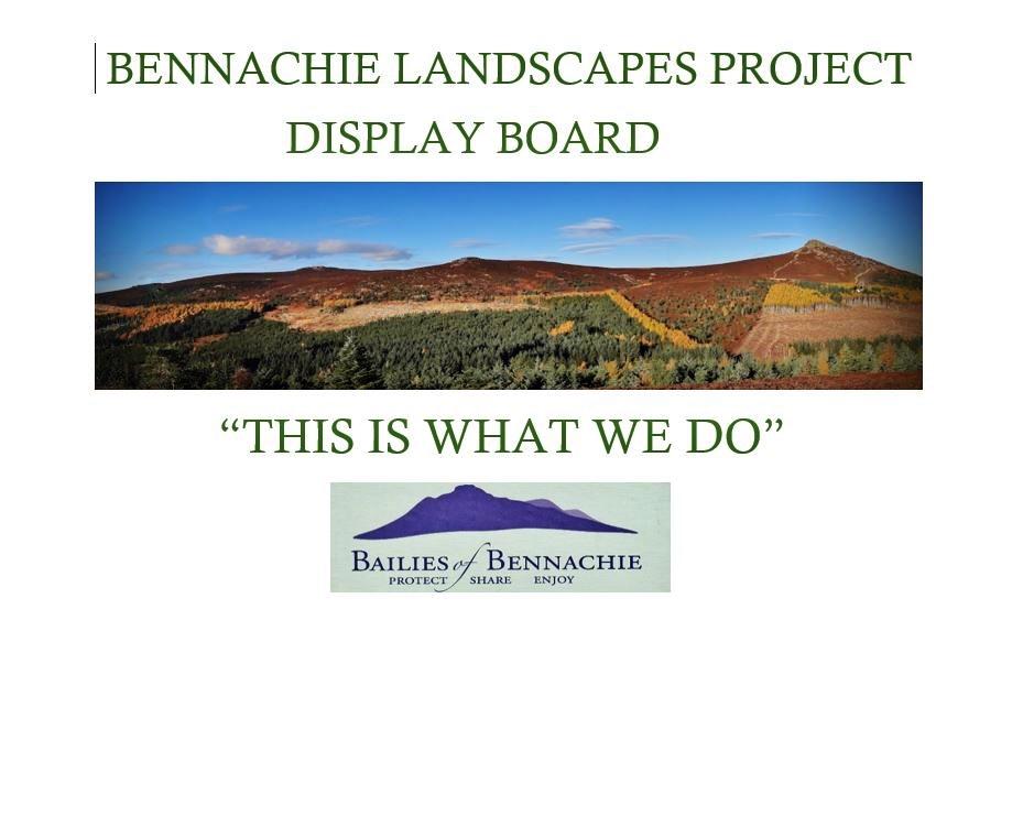
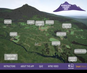
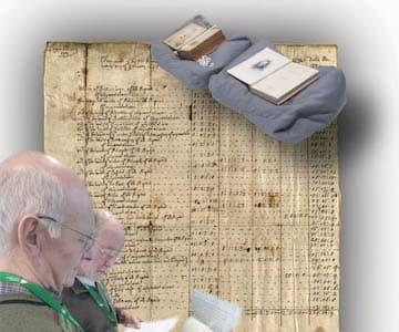
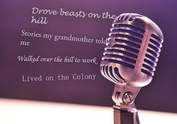
Bennachie Centre Display Board

Bailies of Bennachie have a noticeboard in the Bennachie Visitor's Centre and this project is a record of the exhibitions.
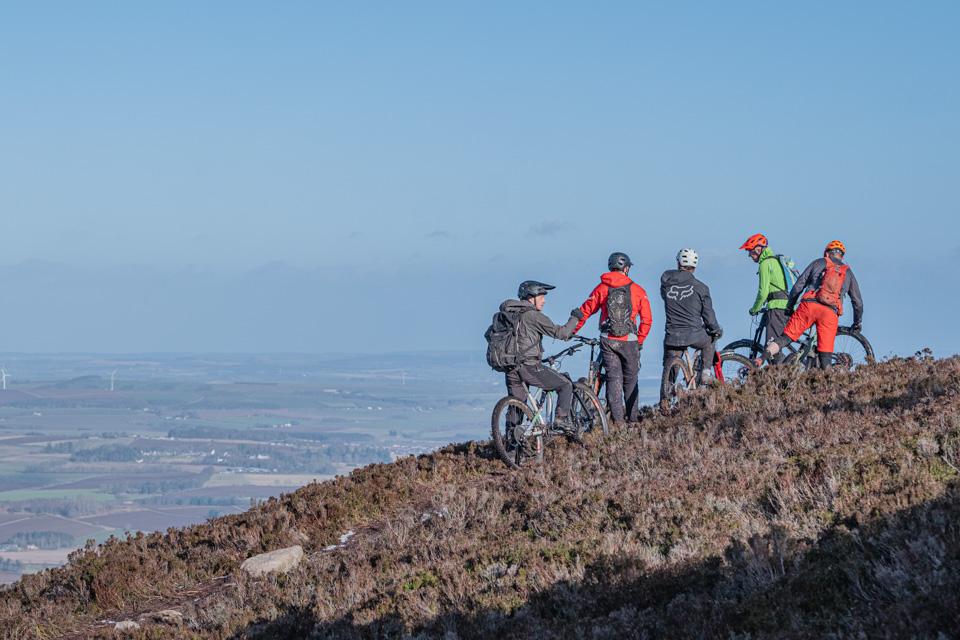
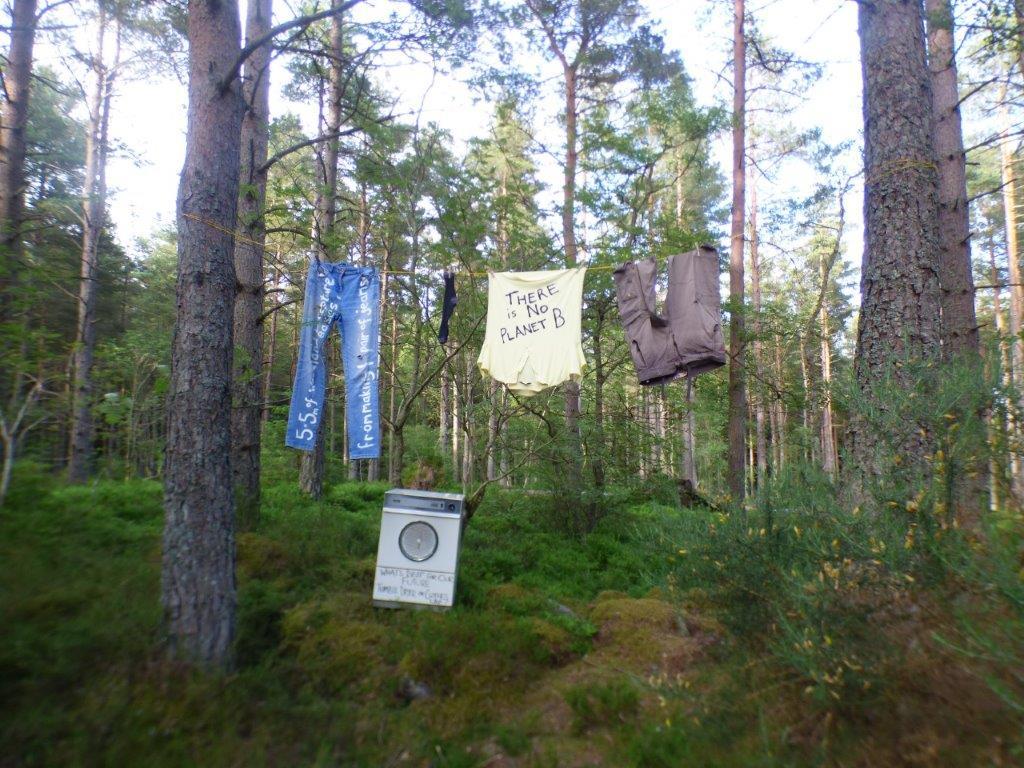
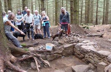
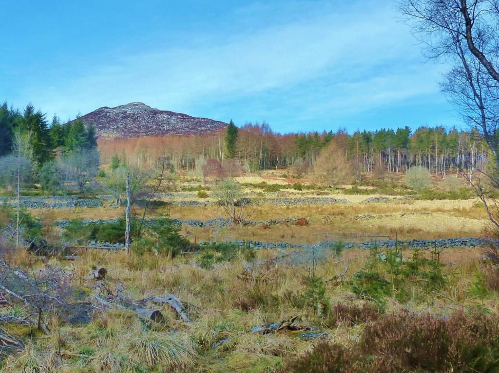
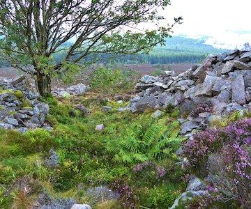
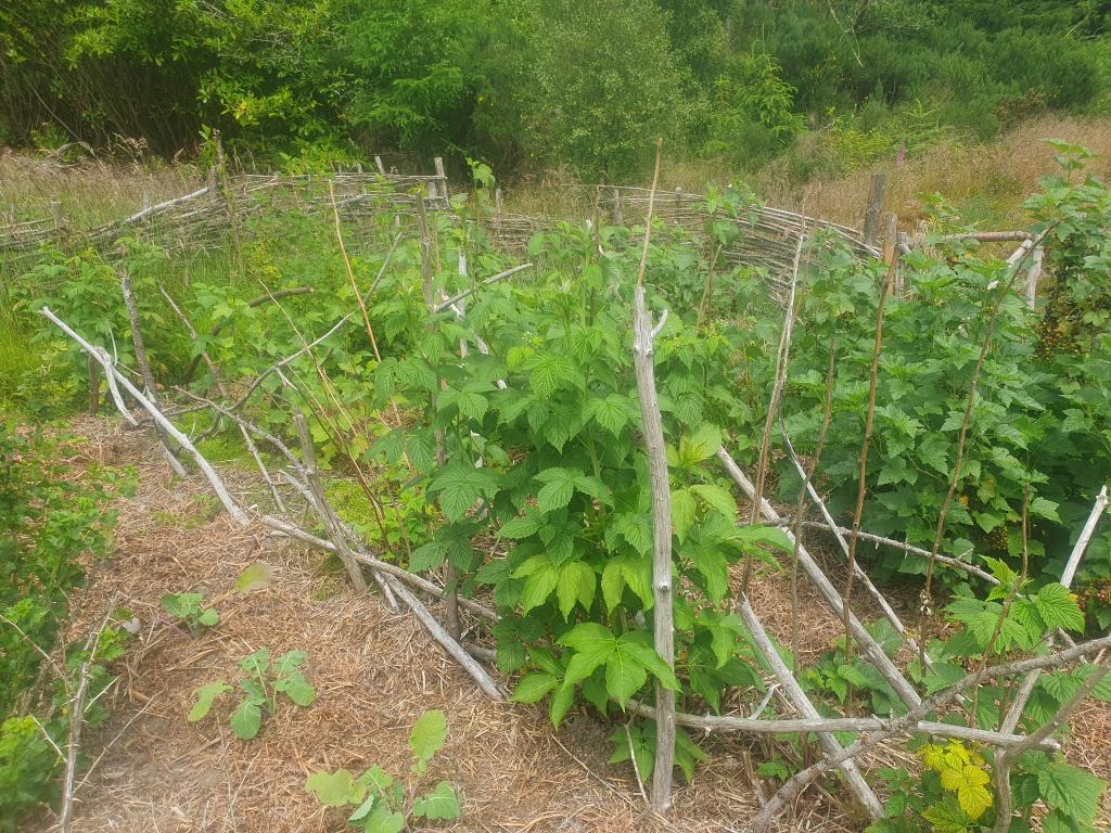
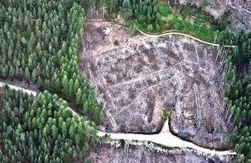
Bennachie Mountain Bikes 2

Sustainable Visitor Management Project

The Bailies of Bennachie are working with landowners and user groups on the hill to develop a sustainable visitor management strategy for the Bennachie Hill Range. This project has been helped by @NatureScot #GreenRecovery #BetterPlacesFund and involves bringing people together to work on a future direction.
Climate1

Climate Change Project

The aim of the trail is to show how nature is helping us address climate change – what it can do and what it can’t do. The trail is set in woodland because trees are hugely important for capturing carbon dioxide (CO2) from the air.
Bailies 50 Years Logo Circle R1

Celebrating 50 Years Of The Bailies of Bennachie

2023 is our 50th anniversary and although much has changed, the Bailies’ unwavering dedication to the hill has remained steadfast.
Alex Thomson

A Puckle O' Days On Bennachie

Alex Thomson is making a film about Bennachie providing a glimpse into what goes on around the hill throughout the year and to show how it is used by the public.
Arch Bede House

Archaeology

Archaeology is the study of human history and prehistory and is made up of a variety of activities including excavation.
Grid Visit

Arts and Crafts

Scottish Sculptural Workshop has led the 'Natural Bennachie' project. This exciting artistic venture has seen the collaboration of world-renowned artists focussing their energies on Bennachie.
App Screenshot V2

Bennachie Colony Trail App Project

Our app aims to chronicle the stories and the histories of rural life for the Bennachie Colonists who had homes on Bennachie in the 19th and early 20th Century in imaginative ways that are accessible to current and future generations.
Bennachie Landscapes Project Photo 1

Bennachie Landscapes Project

The project is being developed and piloted in the area around Bennachie but is scalable to encompass the whole of the UK.
Ecological Recording And Analysis Photo 1

Ecological Recording and Analysis

James MacKay's floral survey of the hill undertaken in the 1980s has now been digitised and is available for perusal at the Garioch Heritage Centre.
P1030459

Land Use

Bennachie means different things to different people and this includes how they use the land.
Local History Archives R1

Local History Archives

One of the most important activities undertaken as part of the Bennachie Landscapes Project is looking at historic written sources for information about the Colony.
Oral History

Oral History

Oral History involves the recording of people’s memories of the past including their lives, family memories passed down to present generations.
Quarries Bogs And Trackways R2

Quarries, Bogs and Trackways

In the past Bennachie meant much more than just a day out. To many it was a working landscape that provided materials for building and for heating their houses, and not so long ago, for their very livelihood, a place to build their houses, grow their crops and feed their animals.
Understanding Stones

Understand Stones, Hear the Stories and Relive the Past Project

This project aims to chronicle the stories and the histories of rural life of the Bennachie Colonists that had homes on Bennachie in the 19th and early 20th Century in imaginative ways that are accessible to current and future generations.
Roe Deer Fawn

Wildlife on Bennachie Project

Inspired by both the work and dedication of James MacKay MBE who both recorded and enjoyed wildlife on Bennachie we applied for this grant.
Kailyard March 2023 Main

Recreating a Kailyard (Kitchen Garden)

In 2017 the Bailies were awarded a grant from the HLF to help fund a community project to recreate part of a Kailyard at one of the old Colony sites known as Shepherds Lodge, once the home of the Littlejohn family.
Aerial Photographic Surveying

Aerial Photographic Surveying

Aerial Photography is by far the best method of getting an overview of an area to be studied.

If you would like any additional information about our projects or would like to get involved please do not hesitate to Contact Us.

You can also Donate to support these projects as well.