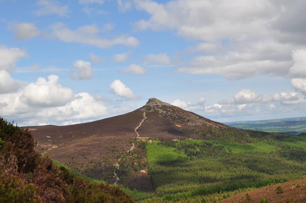
Mither Tap
Mither Tap, 518 m, Trig point, info plaque.
Although not the highest point it is the most prominent and spectacular of all the Bennachie tops (the Fujiyama of Aberdeenshire!). The views from the summit are superb. A mountain indicator designed by the Bailies of Bennachie and near to the Ordnance Survey trig point is useful to identify the various landmarks including the high tops of the Cairngorms. Also on the summit carved in a square into the ganite bedrock are the letters “B”, “P”, “LE”, They stand for Balquhain, Pittodrie and Logie Elphinstone, indicating the meeting at the summit of these three estates on the division of the Commonty in 1859 (the lairds must have been confident of the outcome of their case in the Court of Session as the date carved is 1858.
Map Reference: NJ 682 224 Coordinates: (57.291097,-2.5292317)
Hill Tops Points of Interest