Garbit Tap
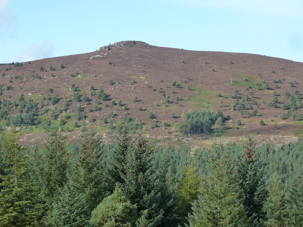
This is 1 km south of Craigshannoch and has some fine cliff scenery on its south side but there is no proper path to it.
Map Reference: NJ 673 221 Height: 468 m Coordinates: (57.288338,-2.5441229)
Hill Tops
This is 1 km south of Craigshannoch and has some fine cliff scenery on its south side but there is no proper path to it.
Map Reference: NJ 673 221 Height: 468 m Coordinates: (57.288338,-2.5441229)
Hill Tops