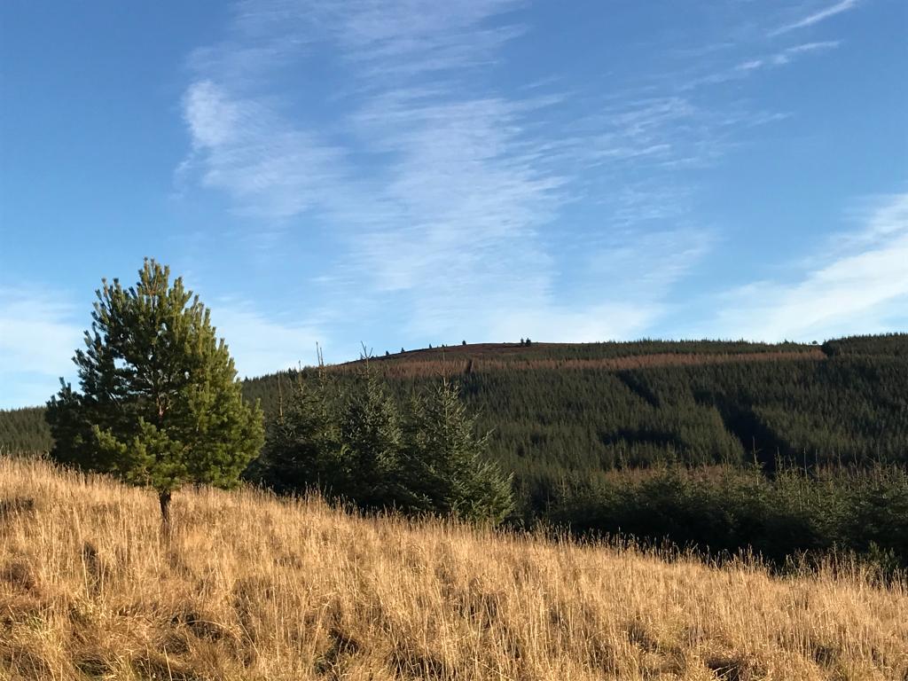
Black Hill
Black hill is the most westerly point of the Bennachie range.
This is the most westerly point of the Bennachie range. On its summit is an O.S. Trig Point, one of two on the hill, the other being on the Mither Tap. Both, now redundant are being maintained by the Bailies of Bennachie. From the top a ridge descends SSW for over 1Km to a smaller unnamed top (363m) conspicuous from below because of a small plantation of larch trees. This part of the hill is owned by Castle Forbes Estate. The late Lottie Marr of the Mill of Tilliefoure was in no doubt that they had been planted on the birth of the 22nd Lord Forbes so that when his 21st birthday was being celebrated there would be an abundant supply of wood for a massive bonfire visible from miles around. However when Lord Forbes was 21 he was away serving King and Country in the Second World War so the trees remain. At the time of writing, his Lordship, long time Guardian of Bennachie and in his nineties, had no knowledge of Mrs Marr’s theory.
Map Reference: NJ 635 219 Height: 433 m Coordinates: (57.286253,-2.6071300)
Hill Tops Points of Interest