Aerial Photographic Surveying
Aerial Photography is by far the best method of getting an overview of an area to be studied.
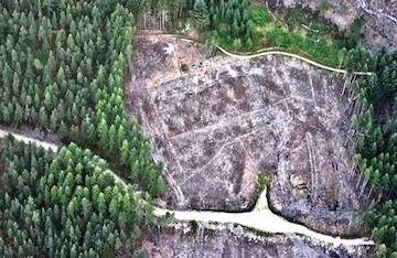
To ascertain whether features, archaeological or otherwise, are present, several sorties may be necessary under different conditions. The field-scape around Bennachie has plenty of potential to reveal any ploughed-out features, when under arable crops especially. The Bailies are fortunate in possessing a collection of black and white vertical images, a Lidar (Light Detection and Ranging) survey and some oblique colour images showing many features of interest such as Quarries, Peat workings, and the Colony plots, so initial research can be undertaken without the need for costly aircraft hire, until it is felt that the wider landscape needs to be studied. Much of this work is now done with Drones today although a light aircraft such as a Cessna can cover a larger area in one flight when available.